Satellite Photography Captures What One Square Mile Looks Like Around the World
A unit of measurement for land surveying gets updated for the Instagram age.
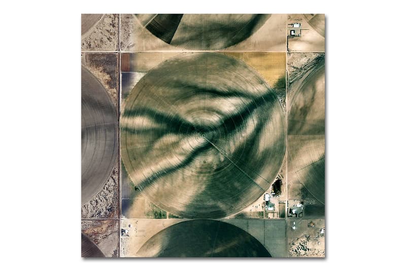
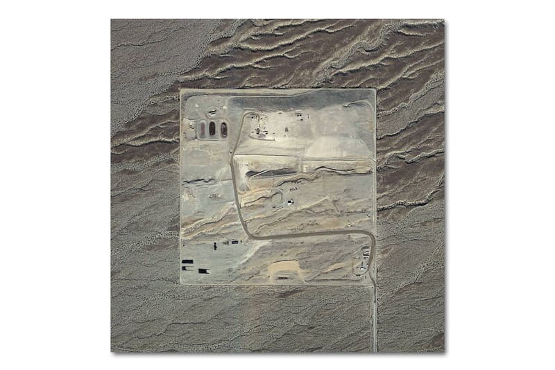
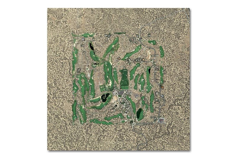
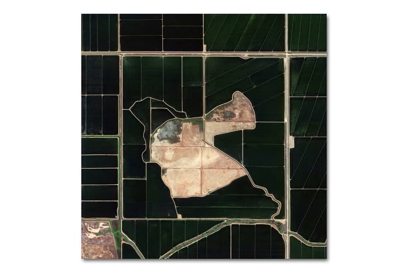
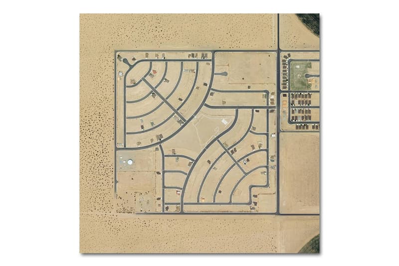
With historical roots as the measure by which to parcel out land in the U.S. during the era of Manifest Destiny at the turn of the 19th century, the square mile has been reappropriated for a decidedly modern application. Here, Instagram account The Jefferson Grid uses the geographical unit of measurement through which to frame landscapes around the world, capturing the various shapes and patterns mankind has inscribed into the earth. With all images taken from Google Earth, the square mile also works well with Instagram’s square format, resulting in beautiful landscape photography that is anything but traditional.


