Scott Reinhard Transforms Age-Old Maps into Striking 3D Artworks
Exploring new imaging techniques in the process.
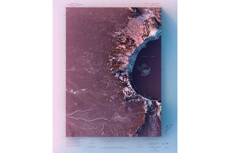
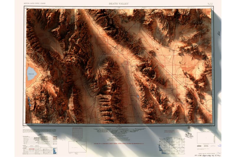
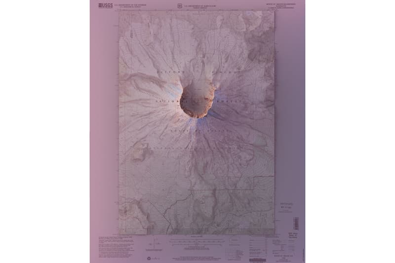
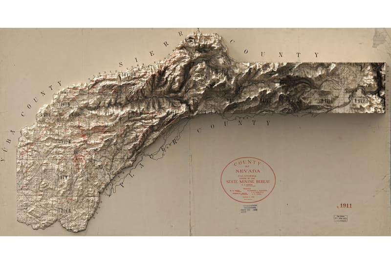
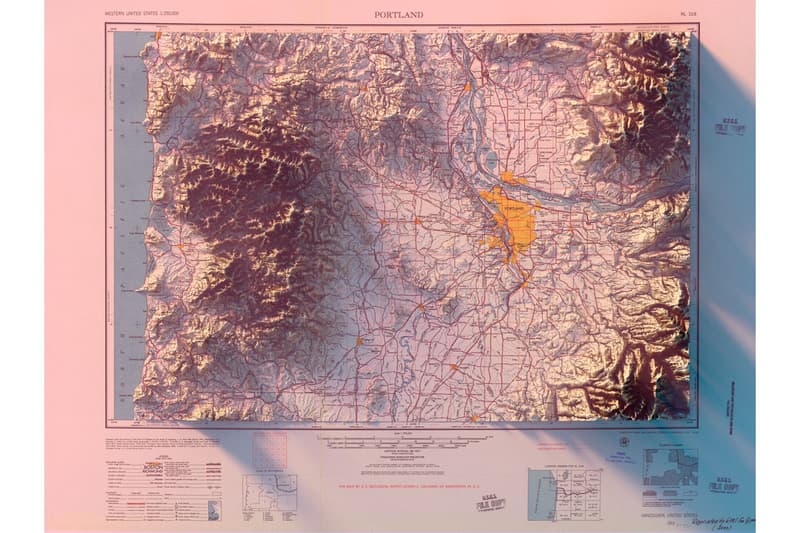
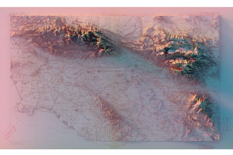
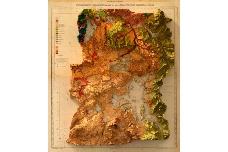
Graphic designer and visual artist Scott Reinhard has an ongoing project that sees regular maps turned into intricate three-dimensional works of art. Harnessing a keen interest in the land forms of stateside regions, the Brooklyn-based creative remodeled age-old maps of places that he has visited.
Referencing the database of the United States Institute of Geology, Reinhard’s geographic visualizations highlight elevation with a gradient of tones, shadows, highlights, as well as chart details that are unique for each location.
In regards to the project, Reinhard expressed:
I’ve been working with geographic imagery the last few years. I find the natural systems that shape our landscape fascinating and beautiful. Features of the land are slightly out of scale to our day-to-day lives, so we are unable to get the bigger picture of where we live. As I’ve explored imaging techniques, I’ve found that the history of our landscape exists in its elevation—its formation, collisions, erosion, and so on. It’s all there. And as I’ve combined visualizations of the landscape with historic maps, there is the added layer and graphic and cartographic design history added to the mix. I love how these maps come to life. Humans have been exploring and attempting to chart their world forever, and I can sit in my bedroom in Brooklyn and freely access data for every square inch of the Earth, it’s mind-blowing.
From Crater Lake to the geology of Yellowstone, check out the 3D map artworks above. View more projects at Scott Reinhard’s website.


